- HomePage
- Product
- Conference
- Marine projects
- Contact Us
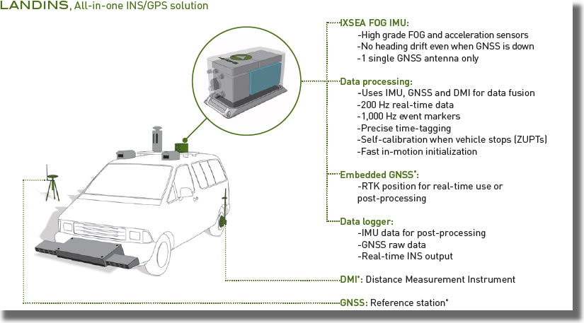
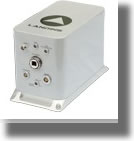
IXSEA LANDINS Inertial Navigation System
LANDINS is a turnkey IMU/GPS system developed as a solution to provide position and orientation for geo-referencing and stabilization of mobile vehicles.
|
|
Features:
- High-performance Fiber Optic Gyroscope (FOG)
- GPS, Distance Measurement data merge
- All-in-one box: INS, data processing,DMI interface, data logger and embedded GPS*
- Open architecture (any GPS receiver and any DMI)
- Post-processing software.
Benefits:
- High accuracy position, heading, roll and pitch at 200 Hz
- Robust to GPS drop-outs in urban areas
- All-in-one lightweight system
- Flexible interface, easy to mobilize
- Optimal results
DATA SURPASS TECHNOLOGY CO., LTD.
1F, No. 22, West District, Zhongmei St. Taichung City , Taiwan